
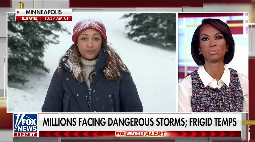
Minnesota faces blizzard conditions that could bring 'bomb cyclones'
FOX Weather reporter Mitti Hicks has the latest information on the threat of a holiday blizzard that could bring freezing temperatures to parts of the Northern U.S.
A Christmas blizzard is ramping up this week to ultimately form into a bomb cyclone, creating paralyzing conditions for travelers heading out for the holidays.
According to Fox Weather, the blizzard will move across the Midwest and Great Lakes this week before forming into a bomb cyclone. The term bombogenesis is used by meteorologists to refer to a rapidly intensifying area of low pressure.
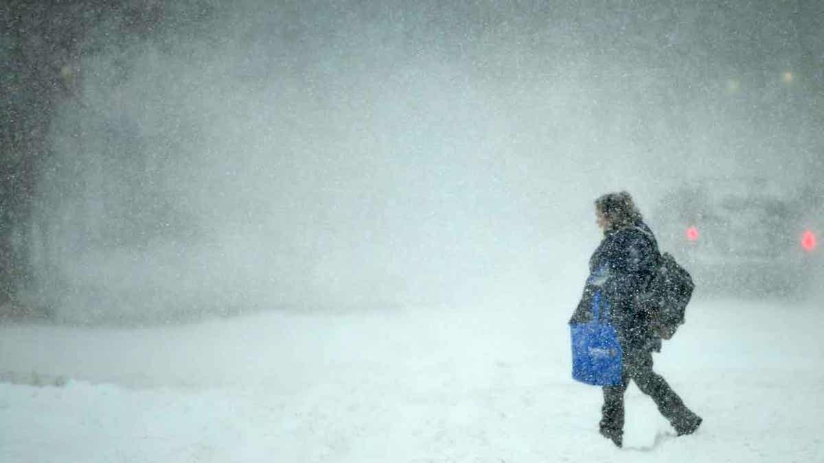
A woman crosses Broadway Avenue as snow continues to fall during a blizzard in Bismarck, N.D. on Thursday, Nov. 10, 2022. The first winter storm of the season to blast off from the Rockies is unloading its energy primarily in North Dakota. () (Mike McCleary/The Bismarck Tribune via AP)
The central pressure of the system must drop at least 24 millibars in 24 hours to qualify under bombogenesis, but what happens is the pressure drop intensifies the power of the storm.
It is a merging of two words: bomb and cyclogenesis. Bomb refers to the explosive development, and all storms are considered cyclones, while genesis describes the beginning or creation.
As the storm moves to the East Coast, it will usher in bitterly cold temperatures that will freeze heavy rain falling just before the temperature drop in the Plains, Midwest, and East.
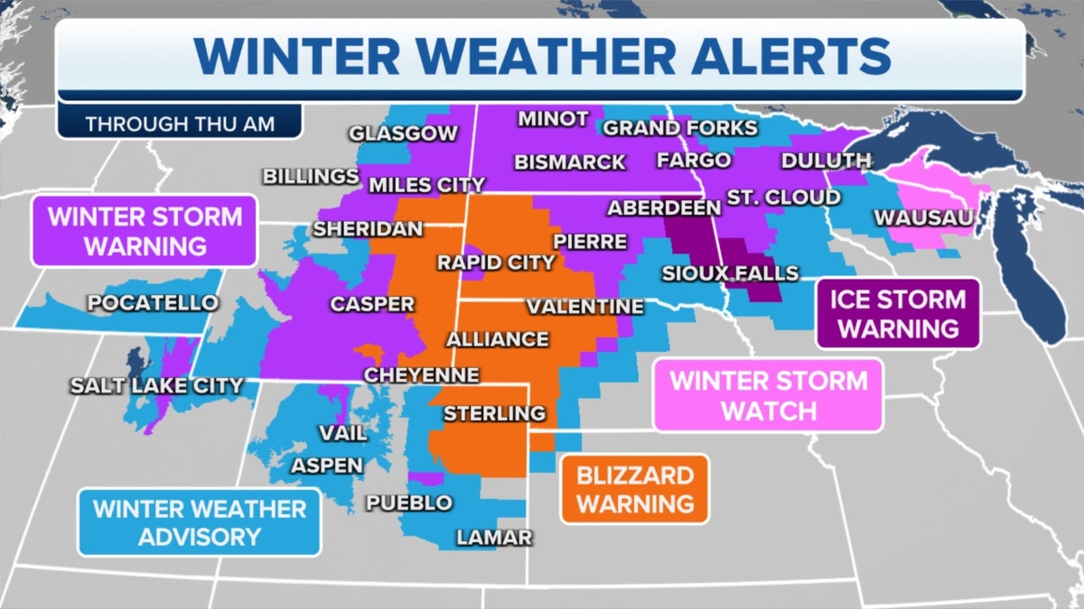
Winter weather alerts in the Midwest, Plains through Thursday morning (Credit: Fox News)
Freezing temperatures could reach all the way to Florida, with portions of the state seeing its coldest temperatures in 30 years.
Snow is also expected to be a factor with the storm across a substantial portion of the U.S.
A Blizzard Warning was issued for portions of Southwestern Minnesota and could be expanded to additional areas Wednesday or Thursday.
Along with the Blizzard Warning, Winter Weather Advisories, Winter Storm Watches, and Winter Storm Warnings have been issued from Denver, Colorado to Buffalo, New York.
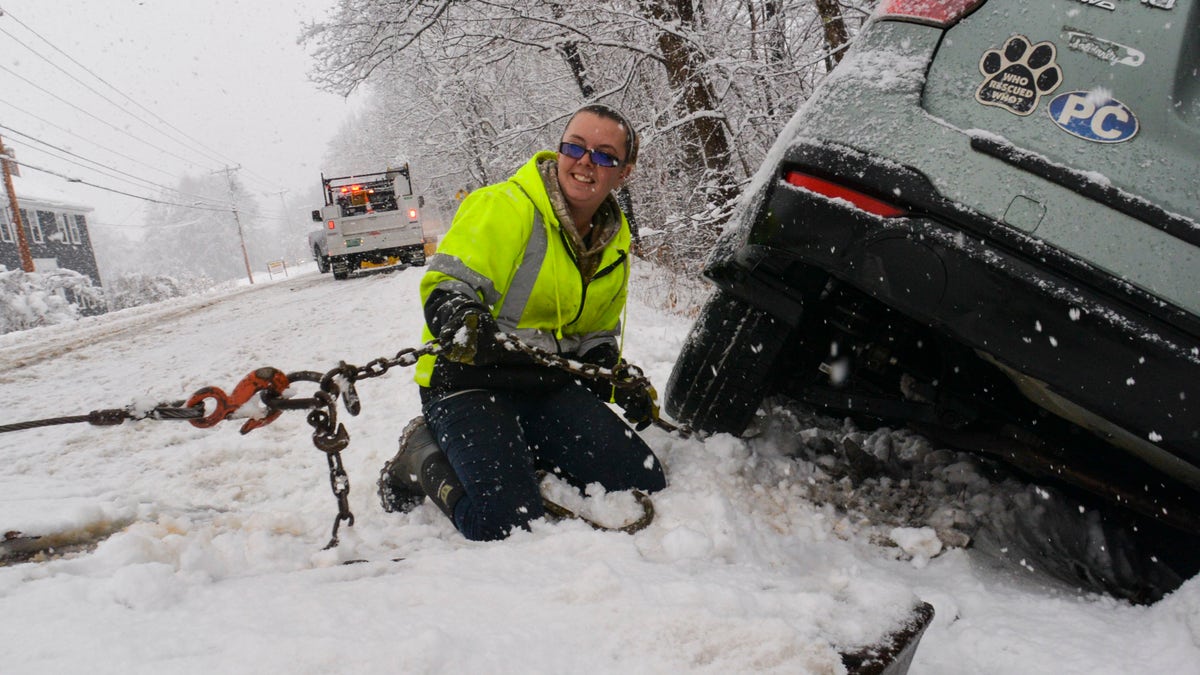
Brianna Brooks, owner of Scott Brooks Towing out of Townshend, Vt., hooks up a vehicle to a flatbed truck at a three-vehicle crash site during a snowstorm on Friday, Dec. 16, 2022. ((Kristopher Radder/The Brattleboro Reformer via AP))
Fox Weather expects the highest snowfall totals to occur in the western Great Lakes region, with areas like the Upper Peninsula of Michigan, Western Lower Michigan and northern Wisconsin seeing more than a foot of snow accumulation.
Light accumulations of snow area possible from northern Oklahoma and across portions of Tennessee.
The storm is expected to intensity on Thursday with snow and rain changing over to heavy snow with high winds.
Temperatures will drop by about 40 degrees in less than six hours, causing the rain to change to snow and flash freezing to occur, forming black ice on the roads.
CLICK HERE TO GET THE FOX NEWS APP
In the eastern portion of the U.S., a wintry mix of snow, sleet and rain will begin to fall on Thursday morning before temperatures rise and turn the mix to rain. Heavy snow is expected to fall in western New York on Friday, as winds ramp up to 40-80 mph and temperatures plummeting into the negative 20s.

The hottest stories ripped from the headlines, from crime to courts, legal and scandal.
